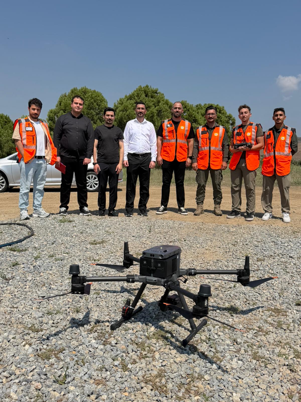
At the BTC Crude Oil Pipeline,
work on LiDAR Corridor Mapping, Geomorphological Surface Analysis, and Digital
Twin projects aimed at improving digitalization and Geographic Information
Systems infrastructure continues with full momentum.
As part of the planned works
covering the entire pipeline, LiDAR measurement flights were carried out along
the route between PT4 and CMT in the first phase. At the same time,
high-precision, three-dimensional, and coordinated modeling work using drone
technology started at the relevant Operations Directorates.
With the work carried out on the
BTC HPBH route, not only are different aerial vehicles used to obtain field
data with high accuracy and transfer it to digital media, but thanks to the
LiDAR system integrated on the plane, highly precise three-dimensional spatial
data about the pipeline and its surroundings is also obtained.
While the first phase of the
flight operations, planned to be carried out in three stages, has been
successfully completed, 360-degree video recordings are being taken at the
operationally important points of the facilities to capture visual data about
the fields.
By integrating LiDAR data, 3D
coordinate models, and 360-degree video recordings into Geographic Information
Systems (GIS); an up-to-date, highly precise, and multi-dimensional data
infrastructure is being created for pipeline routes and station areas.
The goal is to use the data obtained from completing the studies in a single digital structure; to visualize the fields in 3D, carry out spatial analyses, monitor the current situation and changes over time, and support operational processes more effectively.
This integrated digital structure
that has been created will be one of the main components of BTC HPBH's
Geographic Information System infrastructure. This way, it aims to help users
carry out their map-based business processes faster, more efficiently, and more
easily, while also improving digital capabilities for monitoring and managing
the pipeline.